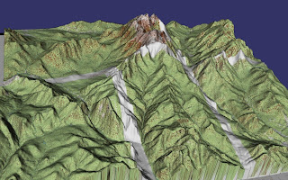
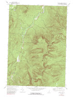
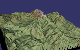
It's straightforward to build a new database using an
osgdem command similar to that used to build the map overlay database. One complication is that we now have 24 image files to deal with, instead of 5, and I don't feel like typing all the names on the command line. The downloaded files from the USGS have the form O4407145.NES.837049.tgz, and their only contents seems to be another tar file. Extracting that, we get the TIFF file and a header file. I arranged these all in directories; for example, the path to one TIFF file is O4407145.NES/O4407145.NES.837049.tif. We generate the command line with a little Unix magic:
ls  O*.*/*.tif | sed -e's;.*;-t &;' \
| xargs osgdem --TERRAIN --geocentric -d elev-meters.tif \
-l 8 -o wash-photo.ive
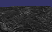 We have a nice image when we look at the scene with
 osgviewer, although the gray imagery would benefit from colors and more contrast. But what would be very cool is display the topographic map tiles and the orthophotos on the same scene and transition between the two. VirtualPlanetBuilder lets you specify that images belong to different layers, and the OSG example program osgmultitexturecontrol supports transitioning between layers based on elevation above terrain. In order to build the new database, we need to specify a "--layer 1" argument before each orthophoto:
ls  O*.*/*.tif | sed -e's;.*;--layer 1 -t &;' |\
xargs osgdem --TERRAIN --geocentric -d elev-meters.tif \
-t carter-dome-trim.tif -t crawford-trim.tif -t jackson-trim.tif\
 -t stairs-trim.tif -t k44071c3/k44071c3-trim.tif \
-l 8 -o wash-layer.ive
Phew! Unfortunately, we don't see the map layer at all with the
osgmultitexturecontrol program from the OSG distribution. A look at the code reveals the problem: the elevation at which the transition occurs is hard-wired at 1000 kilometers. That's fine for viewing a whole-earth database from space, but doesn't do us any good. I hacked in an elevation transition argument, and got some better results. We start with the map view: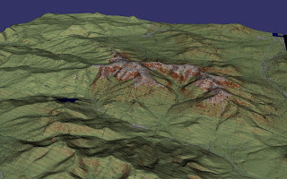
and as we zoom in, we transition from this:
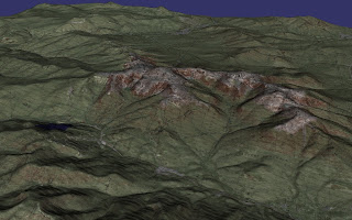
to this:
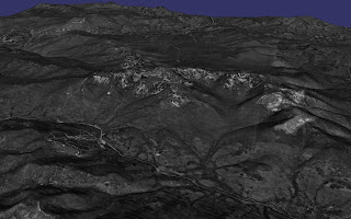
Pretty cool. It would be nice to spruce the photos up a bit, perhaps by using the approach of merging color from lower resolution LANDSAT imagery with these high resolution DOQs.
